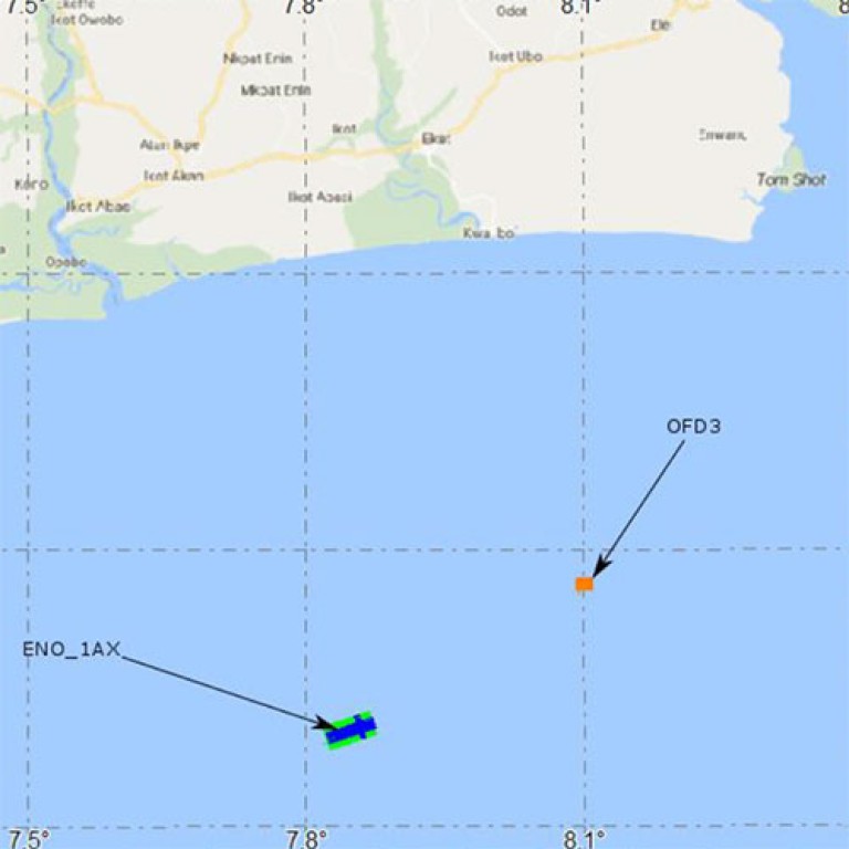
Geohazard assessments combine complementary research fields such as geotechnical sampling, geoenvironmental and seismic engineering, soil and rock mechanics, hydrology, geology, acoustic survey and 3D imagery in a multi-disciplinary approach to identify where hazardous subsurface features or unstable soil conditions exist, either on the seabed or foundation zone, and determine its location and hazardous potential.
Assessment is usually carried out prior to the construction of artificial environments to provide subsidy for site selection and resilient infrastructures design. Data is also valuable to predict related risks and develop solutions to prevent, mitigate and reduce the potential impacts of unavoidable geohazards.
Assessment focus on findings such as submarine landslides, unstable slopes, debris and turbidity flow, sediment transport, erosion, shallow gas accumulation, faults, mud volcanoes, and methane hydrates.
KNOW MORE ABOUT
OUR SERVICES
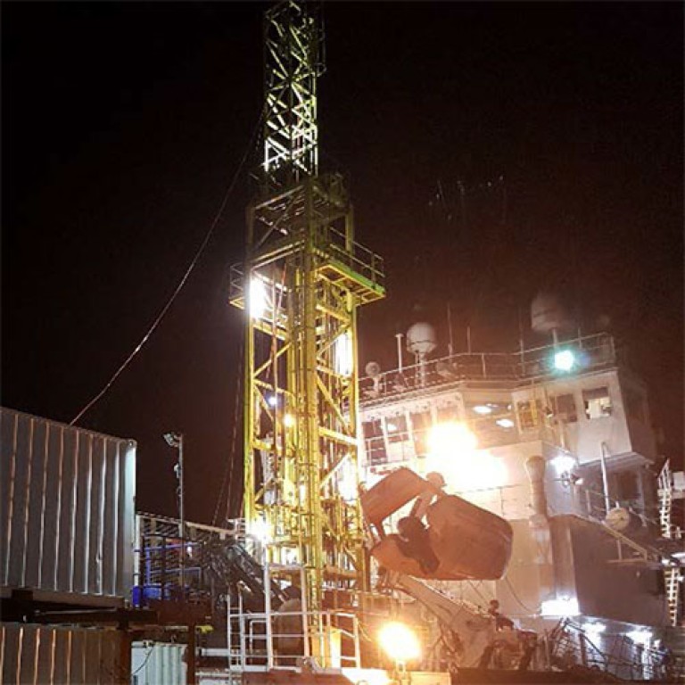
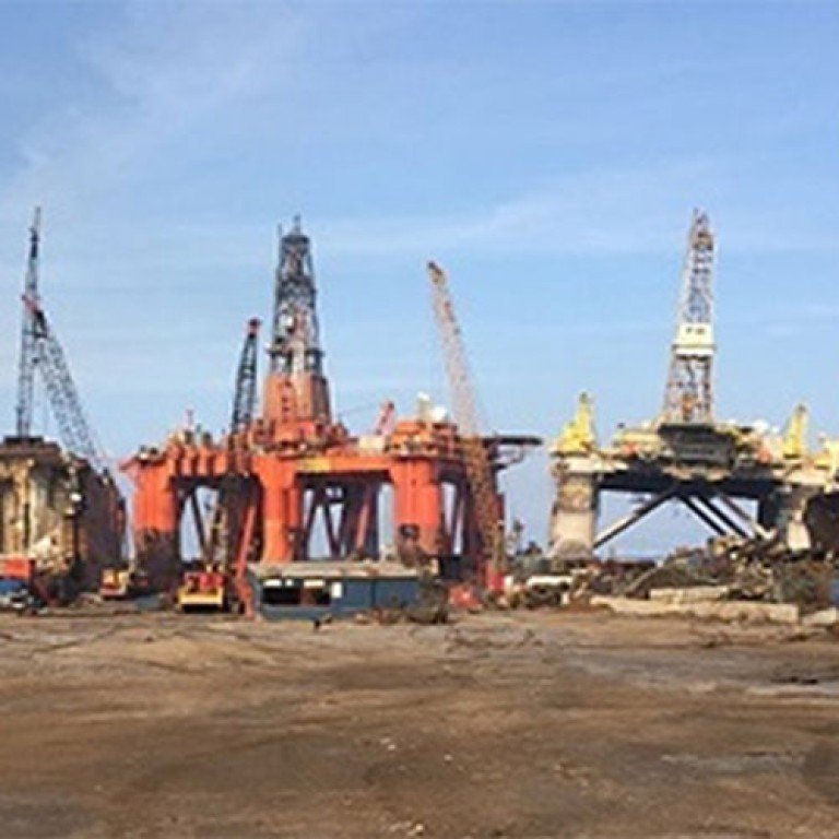
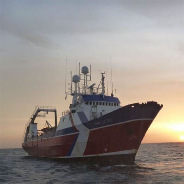
Successful Projects