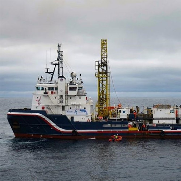
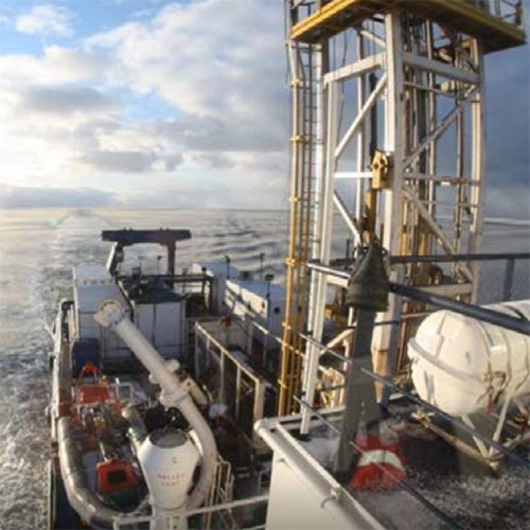
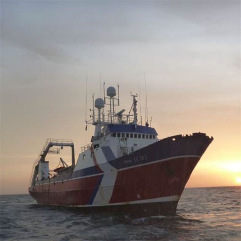
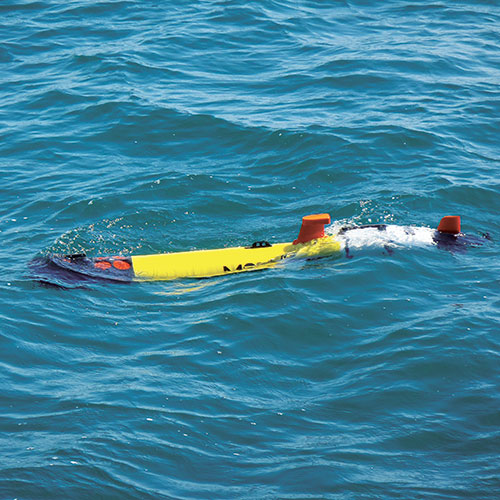
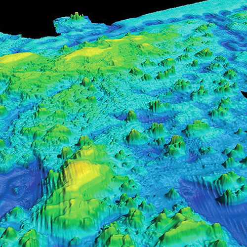
Enviros provides a wide range of geophysical services using dedicated multirole DP vessels and other specialist survey vessels equipped with multiple sensors and acoustic-based instruments such as sonars and multibeam echosounder systems to characterise the seabed, shallow soils and geology for seabed mapping projects and other multi-disciplinary surveys ranging from nearshore shallow water to full ocean depth.
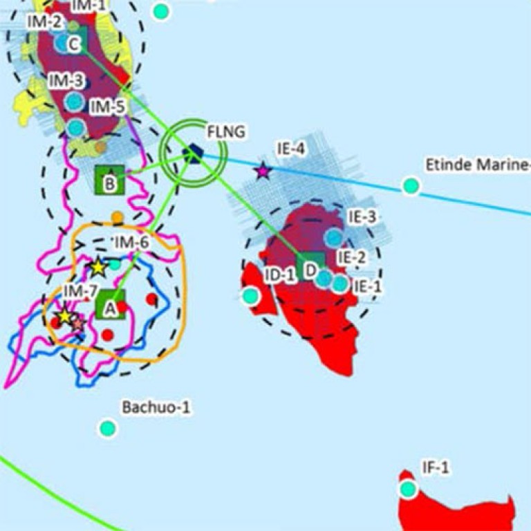
We perform habitat surveys, hydrographic surveys, charting, support services for Exclusive Economic Zone assessment for UNCLOS claims, provide data for offshore infrastructure planning such as production subsea facilities and pipeline routes.
Our Geophysical Services include:
- Mapping of the seabed and geological features;
- Hazard site surveys;
- Seismic surveys: 2D high resolution and 3D ultrahigh resolution, OBS surveys;
- P-Cable technology 3D seismic surveys;
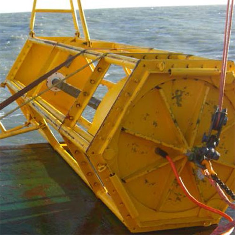
- Shallow water and transit zone seismic surveys with ocean bottom seismic nodes;
- Processing and interpretation of seismic survey data;
- Pipeline and cable route surveys;
- Offshore windfarm sites investigation and windfarm monitoring;
- Hydrographic Surveys and mapping;
- EEZ and UNCLOS Services.
Successful Projects