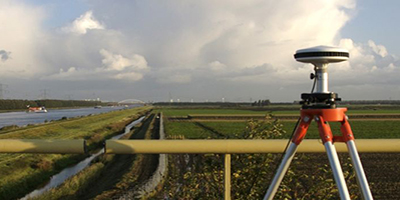
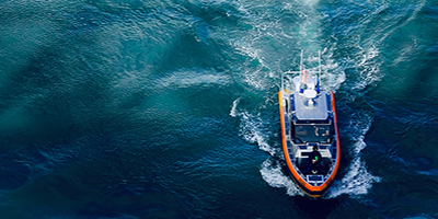
Enviros offer a range of seabed and terrestrial survey services, as well as air based and geospatial surveys.

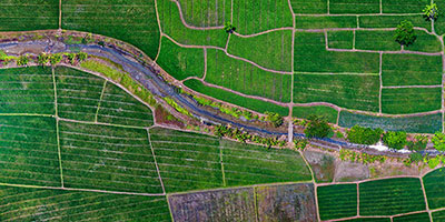
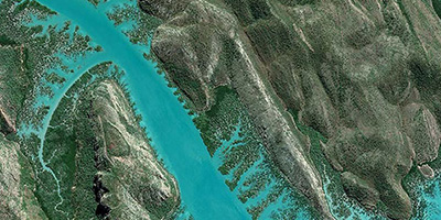
Our capabilities also include remote sensing technology such as airborne data acquisition and drone surveys for aerial mapping...

Combination of experience, innovative technology, precise measurements and 3D mathematical modelling to provide reliable and cost-effective measuring solutions.


